Browse the collection of our top notch brands.
EMLID Reach RS2 GNSS Receiver
Multi-band RTK GNSS receiver with centimeter precision
EMLID Reach RS+ GNSS Receiver
Single-band RTK GNSS receiver with centimeter precision
EMLID Reach M2
RTK GNSS modules for UAV mapping
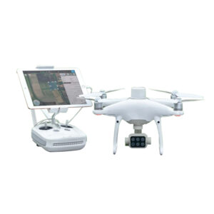
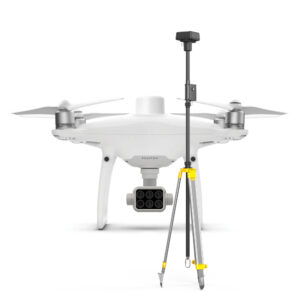
DJI Phantom 4 Multispectral
A fully integrated multispectral drone used for imaging
Blackview BV9100
The most solid outdoor rugged phone
NEW PRODUCTS
Browse the collection of our best selling and top interesting products.
You’ll definitely find what you are looking for.
OUR SERVICES
Providing outstanding services and results through a range of different geospatial services.


OUR PROJECTS
UAV mapping of a part of Isheri North Scheme covering 430 Hectares - 2019
UAV survey, Topographic Survey of 10 Hectares of land, Lekki - 2019
UAV mapping, topographic survey, layout design and engineering setout of proposed Hampton Bay estate, Lekki - 2020
Detail engineering survey for gas pipeline route from Idowa-Ibefun Road to Ijebu-Ode Junction – 2019
Bathymetric survey of shallow water area of OML 77 (8m to 12m) – 2019
Route Survey for 330kV Kaduna-Kano 230km double circuit quad conductor transmission line – 2018
Onshore gyro calibration and antenna offset verification – 2018
CONTACT US
Let’s get in touch!
© 2021 Arpenture Consultants Limited | All Rights Reserved.


